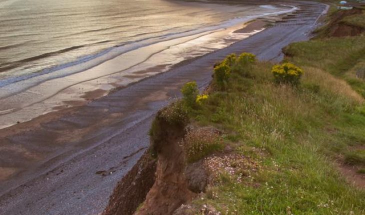
Scotland’s spectacular and varied coastline makes up 8% of Europe’s coast. Our coast has the highest cliffs and some of the largest sand dunes in the UK. We also have some large areas of mud flat and salt marsh, which provide habitats for millions of resident and visiting birds. Scotland’s past climate and geology have controlled the development of our coast and greatly influenced its habitats, species, land use and development.
Contents
Scotland’s varied coasts
Hard-rock cliffs
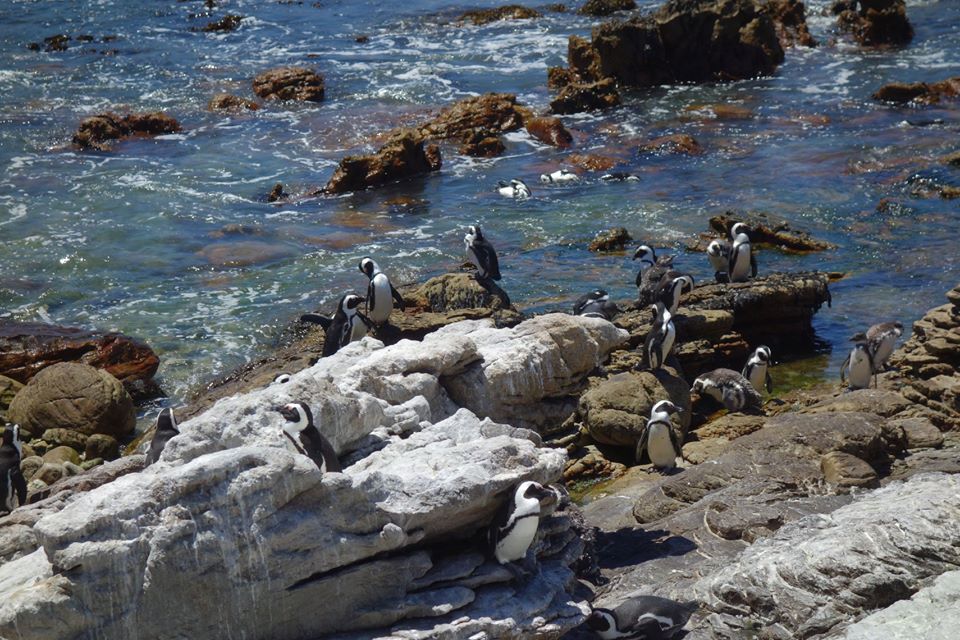
Parts of Scotland’s coastline are dominated by hard-rock cliffs. These are not only scenically spectacular, but are also important habitats for resident and visiting bird populations.
Although the UK’s tallest cliffs are on St Kilda, standing 430m high, there are many other spectacular examples which are more accessible. All four corners of Scotland have hard-rock cliffs.
Some of Scotland’s most impressive hard-rock cliffs are found at: Villians of Hamnavoe (Shetland), West Coast of Orkney, Duncansby Head (Caithness), Tarbat Ness (Easter Ross), North Islay (Argyl & Bute), Bullers of Buchan (Aberdeenshire), Dunbar (East Lothian) and St Abbs Head (Berwickshire)
Soft-rock cliffs
Scotland has very few examples of soft-rock cliffs. This relates to our geological and glacial inheritance. Where present, Scottish soft-rock cliffs tend to be readily erodible glacial deposits. Some examples can be found on the Pennan coast (east of Fraserburgh) and Nigg Bay south of Aberdeen.
Gravel beaches and spits
Scotland has some impressive gravel beaches.
Spey Bay on the Moray coast is one of the most important gravel beaches in the UK. Extensive gravel beaches started to be formed here 6500 years ago, leaving a remarkable staircase of emerged ridges extending inland from the present beach. Coastal processes continue at Spey Bay, as the river delivers 6,400m3 of sand and gravel annually on to the beach, which is washed westwards towards Lossiemouth at 30 metres per year.
Some of our best examples of gravel beaches are found at: Spey Bay and Whiteness Head on the Moray Firth and the West Coast of Jura.
Spits are some of our most dynamic coastal landforms. Longshore drift carries sediment along the beach due to dominant oblique waves. The Flying Bar at Culbin is extending west at 15 metres per year and the Spit at Whiteness Head (also on the Moray coast) is extending at 30 metres per year .
Sandy beaches and dunes
Scotland has a wealth of beaches and dunes and much of the UK’s sand dune habitat is found in Scotland. Some of our largest beaches are on the coasts of Aberdeenshire, Moray and the Western Isles. But you are rarely very far away from a beach.
Many of our present beaches and dunes have formed during the last 4000 years or so. They have been shaped by waves, currents, the wind and increasingly by human activity. Periodically, these dynamic landforms and habitats change their shape and form.
Machair
Machair is a type of sand dune habitat which is made up of sand with a high shell content. It is famed for its species rich ecology which cause a blaze of colour dueing summer months. It’s strong-hold are on Scottish western and northern isles, but it can be found further afield.
For more information on Machair, click on the related link.
Saltmarshes
Saltmarshes are vegetated parts of the upper intertidal area found on our enclosed shores. As such, they are sheltered from strong wave action and are dominated by tidal processes.
Scottish saltmarshes make up 15% of the total British resource, and unlike saltmarshes elsewhere, they are commonly grazed, lack large amounts of sediment input and have a complete transition from halotrophic (salt-loving) to terrestrial vegetation.
The largest areas of saltmarsh in Scotland are located in two main areas: the Solway Firth and the Moray Firth.
For more information on saltmarsh habitats, click on the related link.
Our coast’s geological and glacial inheritance
Scotland has a diverse geology and this is reflected in variations in the form of the coastline. Generally, much of Scotland’s north and west coasts is dominated by hard, ancient strata, whereas the south and east coasts are composed of younger and weaker rocks.
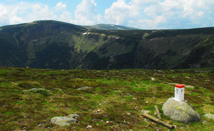
The Ice Age glaciations also emphasised these geological differences. The highly indented western coastline reflects glacial deepening of pre-existing valleys that were later drowned by rising sea levels to form fjords. Glacial erosion was less intense in the east, although deep basins were excavated in the Firth of Forth and Cromarty Firth.
In contrast to the west, glacial deposition was widespread in the east and the sediment was reworked by the waves and wind to form extensive beaches, dune fields and coastal forelands such as Tentsmuir and Morrich More.
These geological and glacial factors have been further influenced by sea-level changes and differences in wave climates to form the present coast of Scotland.
Present and future sea levels
Although central Scotland has been rebounding since the last Scottish ice sheet started to melt 20000 years ago, the uplift rates are now modest (around 0.6 mm per year max). When this vertical land movement is compared to the more rapid rate that coastal waters around the UK are rising (up to 2mm per year), all of Scotland is now experiencing net sea-level rise.
UKCP09 – Climate Projections
On behalf of the UK Government, a range of scenarios have been published, estimating a range of expected increases in sea level (UKCP09). You can use the ‘User Interface’ to generate climate projections or sea-level rise (or other climate variables) for your area of Scotland.
Scottish Natural Heritage is undertaking various research projects into coastal climate change, many which consider relative sea-level rise and its impacts. We’ll update these web pages with key results as they become available.
Climate change at the coast
The coast is uniquely exposed to climate change as it will not only experience temperature and rainfall changes seen on land, but will also be affected by rising sea level and changes in erosion and deposition.
Most coastal processes have always changed over time, but there is growing evidence that key processes are now changing more rapidly than in the last century.
Sea-level rise
Although central areas of Scotland have historically benefitted from emergence (i.e. sea levels falling relative to the land as a result of glacial rebound), sometime in the last century this process was overtaken by faster sea-level rise. All of Scotland is now experiencing relative sea-level rise and all of the future projections expect accelerations in the rate of this rise.
For more information visit the UKCP09 website
Sediment supply
Sediment supplied along our soft shorelines controls their stability: surplus sediment can promote accretion, and the removal of sediment can cause erosion. Coastal sediment supply is generally thought to be at an all time low, in part due to river bank and coastal defences. Inappropriate defences can transfer erosion along the coast, so managing sediment supply within coastal zones is important.
Storminess
Storm surges can cause significant coastal damage, so any change in the frequency or intensity of surges is of interest to coastal managers and those living and working near the coast. The penultimate set of projections (UKCIP2004) suggested that there might be an increase in the frequency of storms affecting Scotland and the UK. However, the most recent projections (UKCP09) suggest that the frequency of surges is not likely to change much.
For more information visit the UKCP09 website.
Combined risks
Flooding events can often coincide with other weather events. So often, at the coast, we not only need to consider marine inundation, but also river floods and perhaps pluvial or urban flooding. For more information on these sources of flooding visit SEPA’s web pages .
SNH Research
Scottish Natural Heritage is undertaking various research projects into coastal climate change, many of which consider relative sea-level rise and its impacts. We’ll update these web pages with key results as they become available.
Coastal erosion
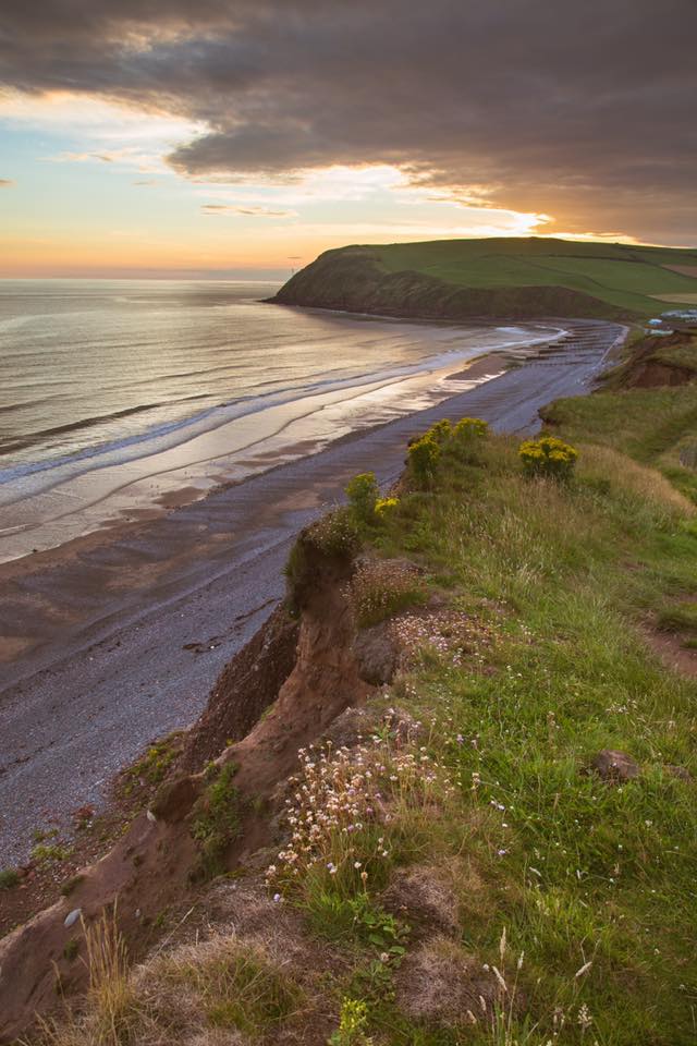
Coastal erosion is a naturally occurring process which affects, periodically, much of Scotland’s coastline. Though Scottish Natural Heritage has no statutory responsibility for coastal defence, it is often required to consent or comment upon proposed coast protection works or asked to offer guidance on the management of erosion.
How is the coast changing?
SNH participated in a Europe-wide assessment of coastal change in 2004. The EUrosion project categorised Scotland’s coast, summarising the nature of our coastline and also its stability and behaviour.
Nature of our coast
70% of Scotland’s coast was classified as hard coasts (composed of rocks and cliffs), 29% was soft coasts (composed of unconsolidated gravels, sand and silts) and less than 1% was artificial (harbours and sea walls).
Coastal stability & erosion
Three quarters of our coast is broadly stable and of the remaining quarter, 8% is accretional, 12% is erosional and data is lacking for 5%.
SNH Guidance on coastal erosion and development
Scottish Natural Heritage has guidance on Coastal erosion and development on the coast. We also have a Guide to managing coastal erosion in beach/dune systems.
Use the links on the right to see these resources.
